


The track Cumbres del Moncayo is just the north ring of this route. Both rings together make up the Moncayo Marathon.
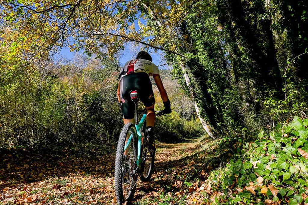
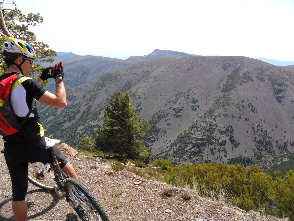
Cumbres del Moncayo is a middle mountain all-terrain bike route in the province of Zaragoza. It is a perfect option for those who love long routes, as its 40km of forest tracks run through endless forests and high peaks with spectacular panoramic views of the Sierra del Moncayo, the Ebro Valley, and on clear days, even the whole Central Pyrenees.
Its highest point ascends to 1,850 metres, therefore warm clothing should be worn during any season of the year, and plenty of water should be brought, despite there being several fountains on the route.
From the Agramonte Visitor Centre, the ascent begins on the asphalt track of the Sanctuary, then taking the track which runs through the beech forests of the Dehesa del Moncayo.
We then continue comfortably toward the south until reaching the steep ascent to the Collado de Bellido, where 20km of almost continuous descent await us, passing the Refugio de Majada Baja, the Collado del Pájaro and the Collado de la Francha until reaching Añón de Moncayo. From there, we will return to the starting point on a road with a slight ascent.