


The Moncayo Marathon route is a true challenge. It is a MTB trail which is only suitable for the strongest, most experienced cyclists. Its length of over 100 km and its impressive total elevation make it the most difficult one day all-terrain biking itinerary in Aragón and also one of the most difficult in the whole Iberian Peninsula.
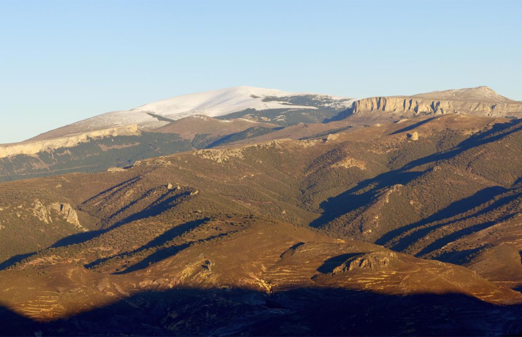
The all-terrain biking Moncayo Marathon is a true athletic challenge. However, the route is also a gift for the senses, as it runs through the most beautiful landscapes and ecosystems of the Moncayo Natural Park, from the rocky areas of Peñas de Herrera and the holm oaks of the south face of the Moncayo mountains to the beech forests of the northern slopes.
In the higher section, we find the Circo de Morca and the Refugio de la Majada Baja, an excellent place for resting.
The Moncayo Marathon can start from any of the towns that the route runs through, either from Calcena, Añón or Agramonte, or from Purujosa or Talamantes with short distance links.