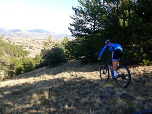
La Tonda and Peñas de Herrera is a long distance all-terrain bike route in the province of Zaragoza. This mountain bike route allows the treasures of the southern face of the Moncayo Natural Park to be discovered, with impressive limestone formations such as the Peñas de Herrera and the Cerro Morrón, as well as unique riverside forests beside the Isuela river and pine reforestation and holm oaks.
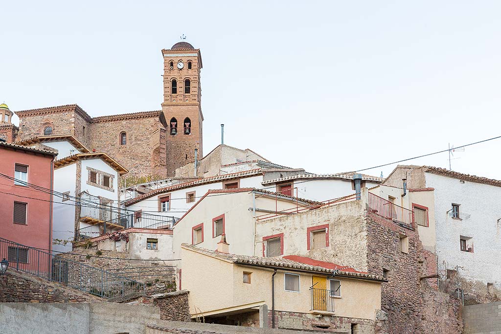
The route starts from the Moncayo Natural Park Visitor Centre located in Calcena, a municipality of the Comarca of Aranda.
After a first section on local roads toward Purujosa, there is a connection with a good track which leads to the Fuente de La Carrasca, again connecting with the road. A track is then taken, entering the Natural Park, ascending through the forest at the foot of the Cerro Gordo, until reaching the Collado de la Estaca.
From there, there is an ascent to the Collado del Campo, with spectacular panoramas, then running around La Tonda on its north face, passing near Talamantes, from which there is a link to the route signposted.
The final section of this XC-Rally route is through the ravines of La Tonda and Valdeplata, leading back to the local road, which we will follow until Calcena.

centro-btt-cara-oculta-la-tonda